Sep 21-09

Past-E-Mail: Cam Notes - 2009: September: Sep 21-09
River view    ...scroll down to share comments
Photos by Donna MacIntosh
Big Erick's Bridge    ...scroll down to share comments
Photos by Donna MacIntosh
Up on top    ...scroll down to share comments
Photos by Donna MacIntosh
Looking down the river    ...scroll down to share comments
Photos by Donna MacIntosh
Bridge Information    ...scroll down to share comments
Photos by Donna MacIntosh


By
Mary Drew at Pasty Central (Mdrew) on Monday, September 21, 2009 - 06:49 am:

Right off the bat today, I'm going to admit to not knowing much about today's subject or it's location, so I'm counting on someone to chime in and give us some additional info. The view here is great and it looks like it might be a good place to do some fishing. I'm talking about the river that runs under Big Erick's Bridge, which Donna MacIntosh visited and snapped these pictures to share. Donna's last photo gives some information about who sponsored the bridge and what materials comprise the structure, but anything you can add to tell us more about it, would be much appreciated.... let the posting begin!


By jbuck (Jbuck) on Monday, September 21, 2009 - 06:57 am:

This is on my 'to do' list to visit and this makes me want to move it up the list! I believe this is at the mouth of the Huron River north of L'Anse. Marsha is probably a better source of info!

How great is it that all those groups participated in the construction? Seeing the 107th on there makes me proud!!


By Jacob Emerick (Jpemeric) on Monday, September 21, 2009 - 07:51 am:

I love this spot! Big Erick's Bridge is located on
the Huron River on Erick's Road just past the end
of Skanee Road. There's a lil campground on the
west side with no office - just a dropbox for
fifteen bucks and two outhouses. The road
continues on, eventually reaching the Yellow Dog
Plains, but there's a lot of other closer sights
to check out (Huron Mountains, Letherby Falls,
Mouth of Huron, etc).

Mouth of Huron is only a few miles north of here,
but the road is windy and takes around twenty
minutes to reach. Big Erick's Bridge can be found
by taking Skanee Road out of L'Anse for twenty
miles, bearing right on the dirt road after Skanee
ends.


By James Alain (Charlevoix) on Monday, September 21, 2009 - 07:54 am:

Big Erick's Bridge is immediately down river from the junction of the East and West branches of the Huron River, as shown in the top picture. The Huron River has lots more water in it in the Spring, of course; the rocks in the 4th pix are completely covered by water, and you can almost walk across the river from side to side without getting wet by stepping on the heads of all the salmon fishermen that are standing in the river. The beautiful Huron River Beach is at the mouth of the river, about four miles downstream from Big Erick's Bridge.


By Capt. Paul (Eclogite) on Monday, September 21, 2009 - 08:55 am:

One of the major projects in the MTU Field Geology course takes place at this site. The rocks in the 4th pic is where students hone their mapping skills as they (the rocks) are a very important piece in the UP geological puzzle.

As always, great photos......


By Richard L. Barclay (Notroll) on Monday, September 21, 2009 - 09:23 am:

We travelled that road a lot in the early seventies going to and from my folks home near Big Bay from ours north of Centennial heights. We ran the Ford road from the bridge to AAA or the Northwest road past Dodge City and then to AAA and Co. Rd. 510. Spent some time on this road looking for a flat shoulder to pull our little car into to dodge logging trucks. Shot a few partridges on its borders, too!


By FRNash/PHX, AZ (Frnash) on Monday, September 21, 2009 - 11:33 am:

Richard L. Barclay (Notroll):
"[To Big Bay via] Erick's Road, Ford Rd/Northwest Rd, AAA Rd, CR510 …"

How much time did that trip take?
With all the narrow twisty roads, that looks like an all day exercise!

I'd sure like to do that trip, and many others on da back roads of da UP! And here's just the vehicle I'd like to use: The EarthRoamer XV-LT.

But that vehicle is a bit pricey, so I guess I'll have to win da Powerball lottery first!


By James Alain (Charlevoix) on Monday, September 21, 2009 - 12:43 pm:

When the current Big Erick's Bridge was being built, the alternate route (detour) actually involved driving THROUGH both branches of the Huron River!! You can easily drive from Big Erick's Br to Big Bay in an hour.


By FRNash/PHX, AZ (Frnash) on Monday, September 21, 2009 - 01:22 pm:

James Alain (Charlevoix):
"You can easily drive from Big Erick's Br to Big Bay in an hour."

Well I guess you're right, it looks only about 28-30 miles from Big Erick's Bridge to Big Bay, with the Ford Road route longer by just a couple of miles. No freeway, for sure, probably good for at least 25 MPH on a bad day, but who's in a hurry?


By Jay Balliet (Jfactor1) on Monday, September 21, 2009 - 02:03 pm:

FRNash,

If you're gonna spend that kind of money may as well go with the gusto!!!
http://www.f650pickups.com/page0009.html


By Thomas Baird (Thomas) on Monday, September 21, 2009 - 03:38 pm:

Pasty.com has done it again with more wonderful pictures.


By Eric Stewart (Estew) on Monday, September 21, 2009 - 05:42 pm:

Wow, I feel like a real Youper because I know that bridge! I made the trip from Big Bay to L'Anse one summer, and then the other way that same fall. Once in a Plymouth Voyager and once in a Nissan Altima. And no GPS! It's not as bad as it sounds and gives one a great sense of accomplishment. Now I'll have to visit some of the other sights mentioned above.


By mickill mouse (Ram4) on Monday, September 21, 2009 - 06:33 pm:

That first picture sure does remind me of the Ausable River in Oscoda. Once in a while we will take a weekend trip to Oscoda and walk down along the river and just enjoy the quiet and listen to the river run.

Wish we could do that every once in a while in the U.P..... it is just to far to go all the way up there.

Love the pictures and back to unpacking and laundry.


By FRNash/PHX, AZ (Frnash) on Monday, September 21, 2009 - 07:06 pm:

I must admit that my first thought regarding the distance/travel time of Richard L. Barclay (Notroll)'s trip included the full extent of the trip from Centennial Heights via Houghton, L'Anse, Skanee, Big Erick's bridge to Big Bay via the indicated route, about 95 miles in all, which could probably be done in less than three hours.

Having never been east of Skanee, or north of US41 from Covington Junction to Marquette, I always seem to suffer from an optical illusion looking at the roads through the Huron Mountains. To me, it always looks so much farther than it really is.

In fact the distance from Big Erick's Bridge to Big Bay (depending on which route) is just about the same distance as from Copper Harbor to either Mohawk or Allouez. Although it probably takes about twice as long to drive through all those twistys!

Oh I really do want to get back UP there and explore the Huron Mountains some day!


By David Soumis (Davesou) on Monday, September 21, 2009 - 07:42 pm:

is it possible to walk from the bridge along the river to the lake?
Are there bears in there waiting to jump on your bones?
would I need to bring my six shooters and a rifle for the trek?

I've been looking at the Toyota FJ Cruiser. They are built to go through and over just about anything.


By Richard Wieber (Dickingrayling) on Monday, September 21, 2009 - 10:01 pm:

I have several questions. Who was Big Erick? and why did he have a bridge named after him? I went to school with Erickson kids whose father was called Big Erick. He did a lot of logging in that area and his sons did, too. As an old man he lived in Houghton and was noted for walking around in his "high water pants and boots". Could this be the same man?


By Marsha, Genesee/Aura (Marsha) on Monday, September 21, 2009 - 10:12 pm:

Yup, love that area and also Witz Marina in Skanee. So picturesque! When the water is low, you can walk across on the rocks. You never know how much water to expect when you visit Big Erick's! Camped there when my kids were young. As a cottage owner, I love to drive through campgrounds just to smell the campfires and the bacon cooking! As for the AAA Road, when figuring how long it takes to traverse, you need to include the time spent being lost. Or is that only us?


By FRNash/PHX, AZ (Frnash) on Monday, September 21, 2009 - 10:21 pm:

Marsha, Genesee/Aura (Marsha):
"As for the AAA Road, when figuring how long it takes to traverse, you need to include the time spent being lost. Or is that only us?"

Funny, that was my hunch as well, applicable to many of the roads in the Huron Mountains: Many intersecting roads, few adequate road signs?


By jbuck (Jbuck) on Tuesday, September 22, 2009 - 06:46 am:

The trip from the mouth of the Huron to Big Bay has been on my 'to-do' list for a long time but i wondered how long that 'lost time' would stretch to. Just a few road markers at critical points would be helpful - like the way to Crisp Point is now marked. When we first found Crisp years ago there were no signs and you were just guessing the route!


By 4WDGreg (4wdgreg) on Wednesday, September 23, 2009 - 08:17 am:

I love the Big Erick's campground area. I mentioned the area once on Pasty.com and got an email from another pasty.com'er who told me that Big Erick was either her Uncle or Grandfather. Legend is that he was a logging jobber and if I remember correctly, he and maybe a brother carried a cast iron stove all the way from Marquette to Skanee! Like all U.P. legends, this one is undoubtedly true!
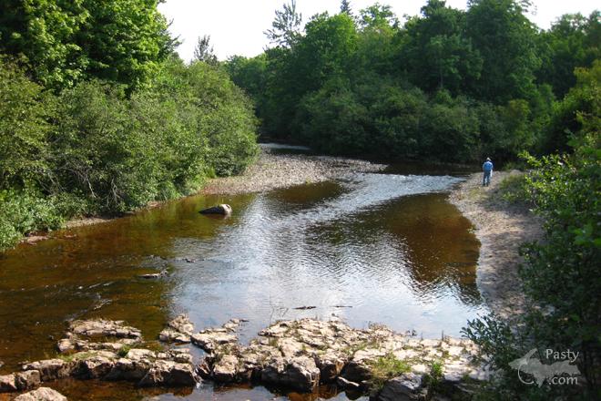
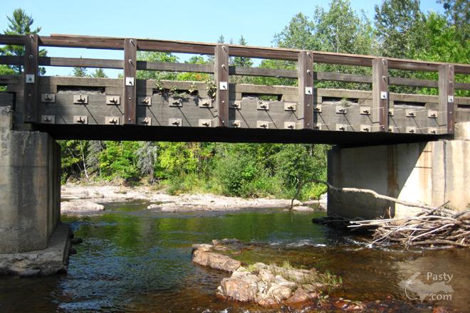
Those of you who have made the trek from Big Bay to Skanee along the AAA road certainly know what an adventure that trip is! Those who have taken the Northwestern suddenly think that the AAA wasn't such an adventure after all! 4 Wheel drive is recommended in that area.
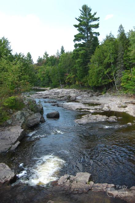
Just don't travel too far north or the Mountain Club guards will want to have a talk with you. I highly recommend visiting the 40' falls to anybody who travels in that area. Getting lost out in that area isn't too much of a problem since you can place an emergency phone call from the telephone at "four beers corner".


[IMG]http://i33.photobucket.com/albums/d68/lefty48197/100_5695.jpg[/IMG]
\topurl


By FRNash/PHX, AZ (Frnash) on Wednesday, September 23, 2009 - 11:36 am:

4WDGreg (4wdgreg)
"… you can place an emergency phone call from the telephone at 'four beers corner' …"

Oh that's a good one!
So all ya have to do in an emergency is find your way to "four beers corner"!


Pytavey, I suppose you realize that the following construct:
[IMG] … [/IMG]
\topurl

does nothing for you on this board.

Next time, enter it like so:

Click: \newurl{http://i33.photobucket.com/albums/d68/lefty48197/100_5695.jpg,Four Beers Corner}

When you post the message, it'll turn into a clickable link like this:

Click: Four Beers Corner
Powered by:  
Join Today!
Each day the Pasty Cam has 2 areas to post messages: 
  • Cam Notes - comments related to today's picture and discussion
  • What'sUP - other topics, conversation and announcements
  • *** Please use the appropriate forum ***
    Here's a list of messages posted in the past 24 hours
    See our guest photo gallery for more great views from the U.P.

    Add a Message


    A user/password combination is now required to post messages to Cam Notes. Registration is free. Click here to register or maintain your I.D.
    Username:  
    Password:

    Home | Pasty Cam | Contest | Order Now | Bridge Cam | Past-E-Mail | GP Hall of Fame | Making Pasties | Questions