By D. A. (Midwested) on Tuesday, June 30, 2026 - 04:53 pm:
I missed Saturday's review of the Gay Stamp sands. It is another mining area that experienced a huge amount of environmental damage, including Buffalo Reef.
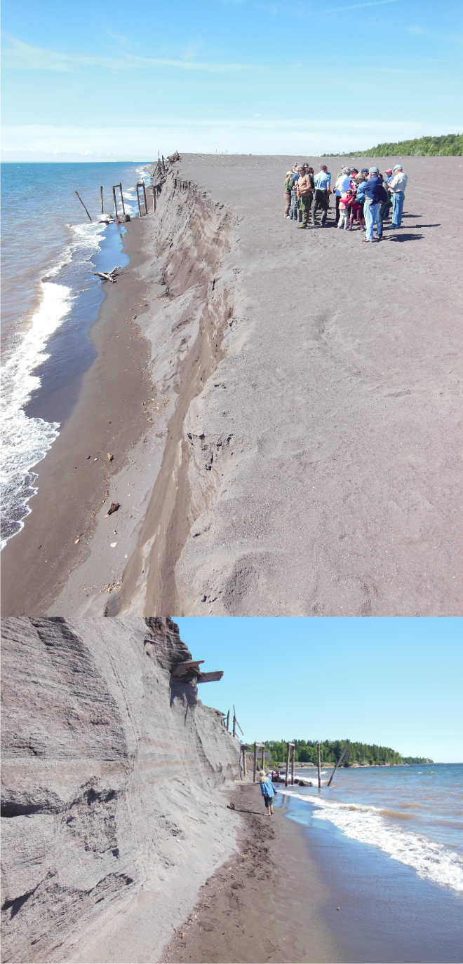
These photos, from the 2016 MTU Geo-Heritage Tour, better show the enormous amount of stamp sands. I've been told that 90% of the sand has already eroded into the Lake. Damage is ongoing to the shoreline as far south as Traverse Bay.
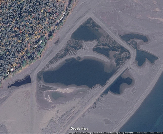
From more recent satellite photos, it looks like some of the sand is being removed.
By D. A. (Midwested) on Tuesday, June 30, 2026 - 05:57 pm:
More Gay Stamp Sand news...
From this recent satellite photo, it appears there has been an effort to remove some of the Gay Stamp Sand. It kind of looks like a gravel pit operation with ramps and roads and then the depression fills with water. Can anyone shed more light?