| Welcome to my tour of the Southern
end of the Copper Range Railroad as it appears today. The photos were taken of specific
places that were once very active centers on the Copper Range.
(All Photos by Kevin E. Musser)
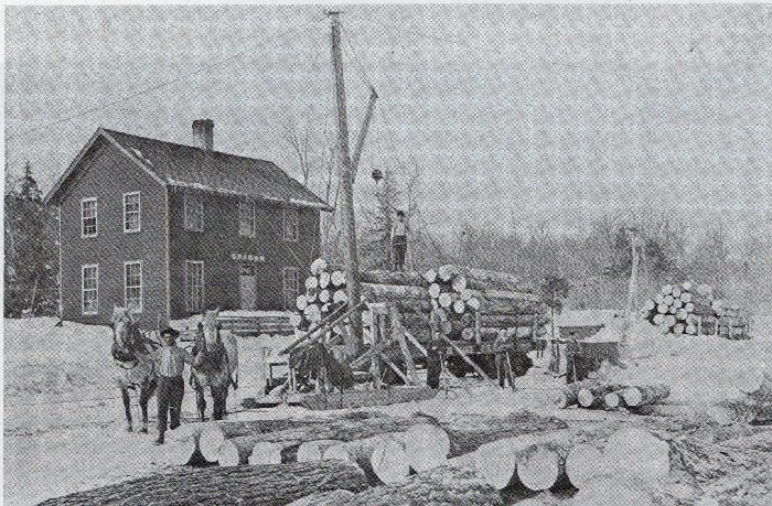
Loading logs at Seager on the south end of the Copper Range
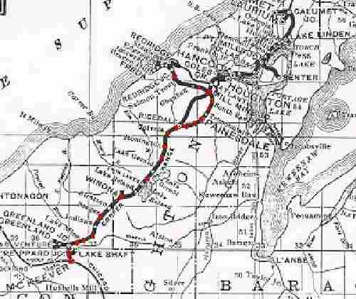
You can either click on the red dots on the map or
click on the captions below. If you click on the map please use your "back"
button to return to the map.

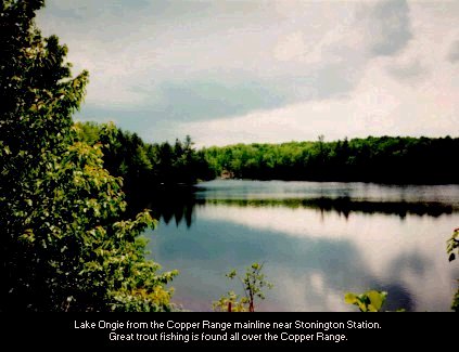
Lake Ongie from the Copper Range mainline,
near Stonington Station
One of many trout fishing regions of the Copper Range.
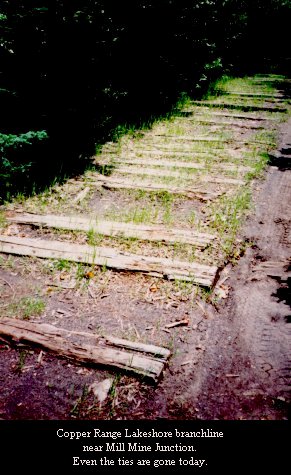
Remains of the Copper Range Railroad Lakeshore
branch near Mill Mine Junction
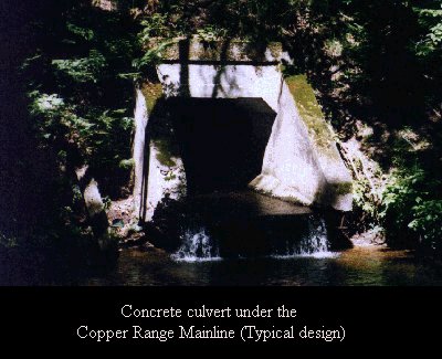
Concrete culvert under the Copper Range Mainline
(Typical design)
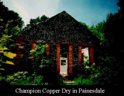
Champion Copper Dry in Painesdale
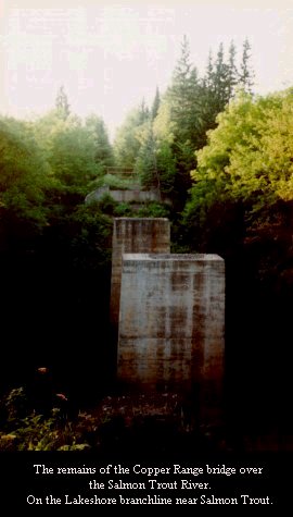
The remains of the Copper Range bridge over
the Salmon Trout River.
On the Lakeshore branchline near Salmon Trout.
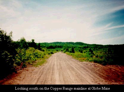
Looking south on the Copper Range mainline at
Globe Mine
Looking north, the point at which the
"Old main" connects to the mainline
(The old main is in the weeds
to the left of the track).
About a mile south of the previous photo,
near Ricedale.
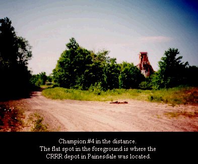
Champion #4 in the distance.
The flat spot in the foreground is where the CRRR depot in Painesdale was located.
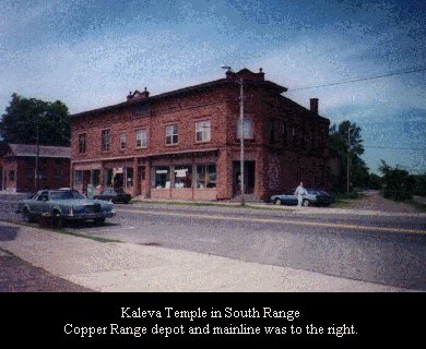
A familiar block of buildings alongside the
Copper Range in South Range
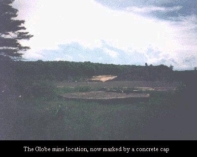
The Globe mine location, now marked by a
concrete cap
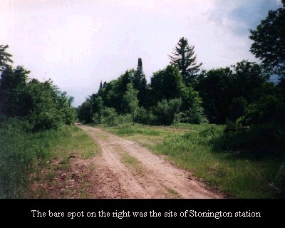
The bare spot on the right was the site of
Stonington station
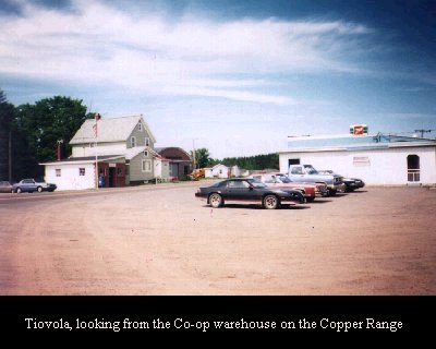
Tiovola, looking from the Co-op warehouse on
the
Copper Range
This structure in Winona was once a barber
shop.
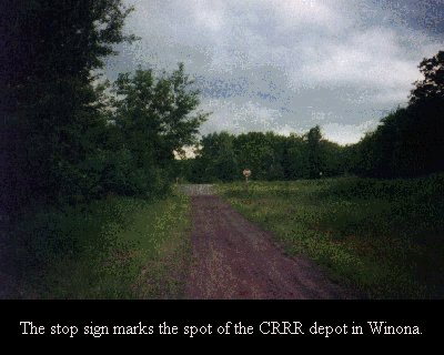
The stop sign marks the spot of the CRRR depot
in Winona.
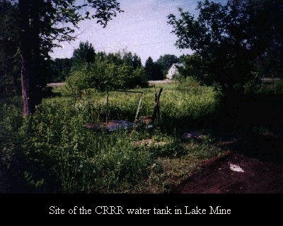
Site of the CRRR water tank in Lake Mine
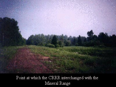
Point at which the CRRR interchanged with the
Mineral Range
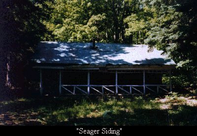
"Seager Siding"
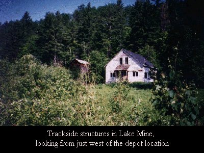
Trackside structures in Lake Mine, looking from
just west of the depot location
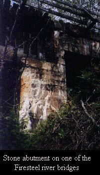
Stone abutment on one of the Firesteel river
bridges
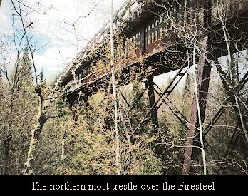
The north trestle over the Firesteel
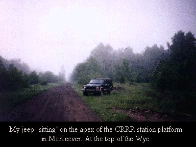
My jeep "sitting" on the apex of the
CRRR station platform in McKeever.
At the top of the Wye.
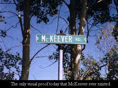
The only visual proof that McKeever ever
existed.
Supporting those afflicted with SWRS
|

