By Debi Steinle (Debi) on Friday, October 12, 2012 - 05:40 am:
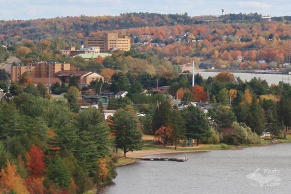
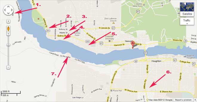
Mary: Am I looking at this wrong this morning? If this is taken from the Houghton side of the Portage Canal, how can that be Hancock Beach on the left? What is the big tan building across the canal on the left-hand side? Don't want to start something again, but just wondering....maybe this was taken from the Hancock side?
Mary says: Sorry, Debi, I guess you must be looking at it wrong, as you said. I checked with Jeff Dennis who took the photo and here's what he said, "Hi, I took the picture from Houghton, we went up the hill to the old "poor farm" and there is a clearing there with a view of the lake."
The taller tan building you're wondering about is the old hospital, the shorter tan building is the Senior housing on W. Quincy St. The clearing where the dock is, that's Hancock Beach. You can also see the Houghton water tower over towards the right in this first photo below.
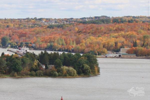
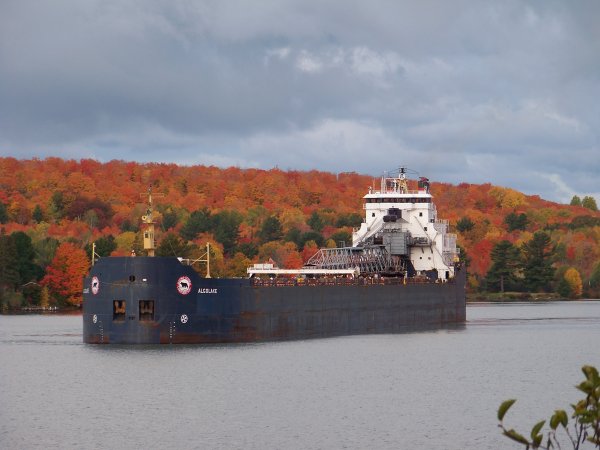
Then in the second photo below, if you look directly across the canal from where the freighter is, that clearing with the buildings is UPPCO on the Houghton Canal. Hope that helps you get it into perspective.